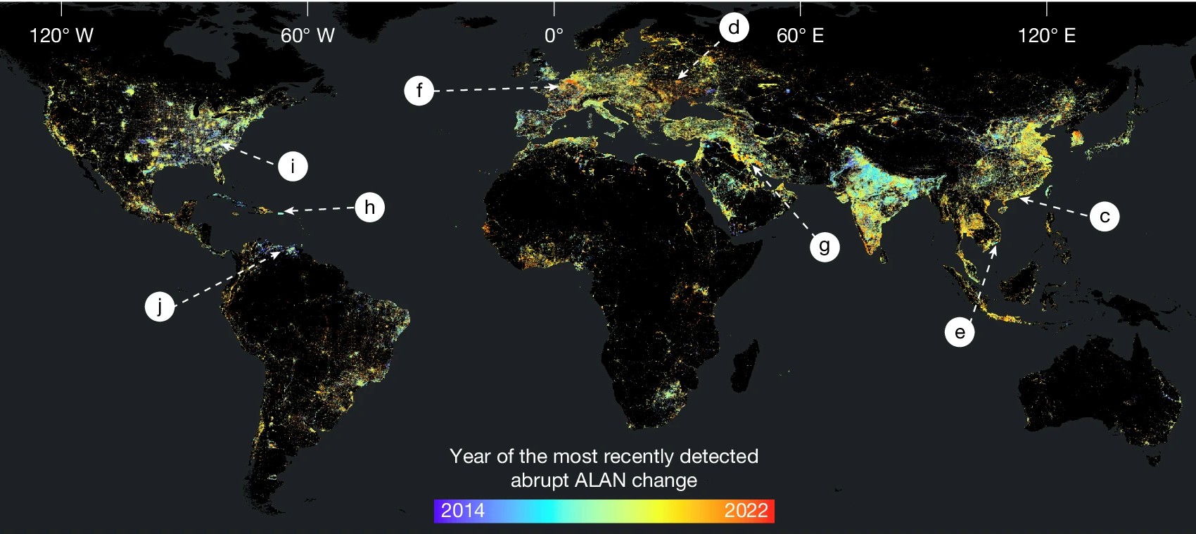
“The Black Marble of Earth is not merely growing brighter; it is pulsing with intensifying volatility, echoing the amplifying heartbeat of human activity.”
Artificial light at night (ALAN) is far more than a visual spectacle: it is a direct, measurable signal of human activity, reflecting how we build and power our settlements, the dynamics of our economies, and our responses to both crises and opportunities. In a recent study conducted by geospatial researchers in the Yale School of Environment, global satellite imagery reveals how artificial light usage indicates changes in urban evolution, zones of conflict, policy impacts, and ecological shifts.
The study synthesizes global ALAN imagery spanning from 2014 to 2024, investigating what areas have experienced abrupt or gradual changes in ALAN usage. These categorizations indicate significant alterations in human behavior and/or environmental conditions including but not limited to: armed conflicts, agricultural development, new environmental policies, natural disasters, decentralization, and economic collapse.
The findings of this study reveal that the global human-light-footprint is not a universally expanding entity but a dynamic system, urging for future studies to reevaluate ALAN as a socioeconomic indicator. This study positions ALAN analysis as a vital tool for informing local and global policy, humanitarian aid, resource allocation, ecological response, and urbanization.